At the Limit: Vulnerable Morphologies in Urban Areas
At the Limit is a study of land consumption and the different types of slum morphologies that have emerged at the limit condition during different stages of city growth.
Guided by curiosity, the project began by asking:
Which morphological components define informal settlements? How can the appropriate definition and classification of slums generate better policy outcomes?
What was learned?
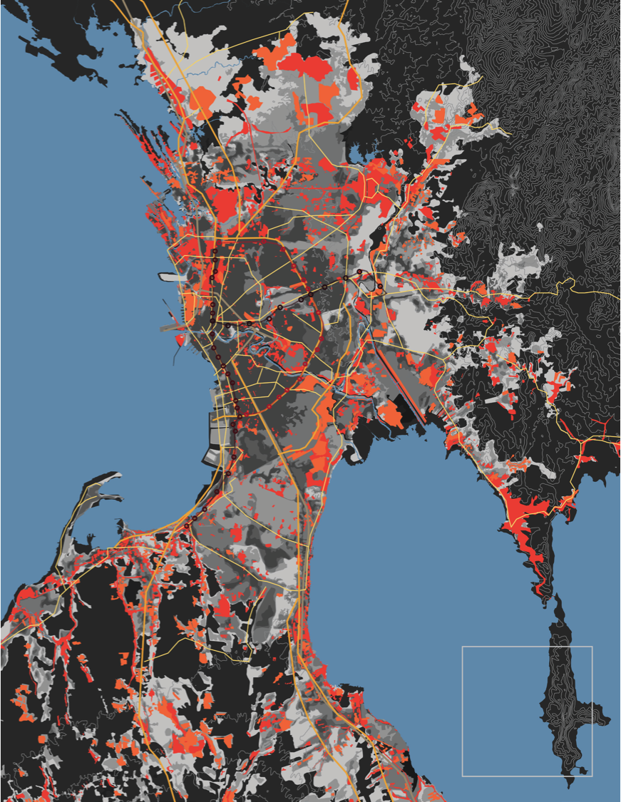
The maps generated from this research allowed the visualization of the direction of growth and type of growth. By using remote sensing and satellite imagery from 1970 through to present, GIS software and Google Earth were analyzed to understand the growth of cities and slums with a high degree of success. Morphology types were identified by examining growth patterns for 14 cities and slums. By properly understanding the nuance of “slums” we can properly address their problems. Properly understanding slums requires proper information and data sets and maps are a main component in this. By defining the level of vulnerability cities, planners, architects and other decision makers are empowered to make better decisions for contextually specific solutions.